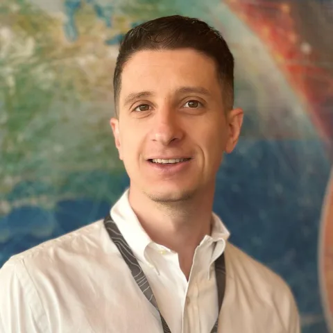
Portrait of Alin Pleșoianu

GIS Software Developer · PhD in Geoinformatics — Bucharest

Alin Pleșoianu

I build geospatial AI systems, from deep learning on satellite and drone imagery to the catalogues and services that run it in production.

01 — About

From pixels to platforms

I’m a GIS software developer at Esri Romania. I work on the data and AI plumbing behind a geospatial AI platform: STAC catalogues on Elasticsearch, ArcGIS Enterprise integrations, and services that run on Kubernetes.

My PhD in geoinformatics at the University of Bucharest was about teaching models to read landscapes. I built deep-learning ensembles that find individual tree crowns in drone and aerial imagery and tell their species apart.

I’ve worked in GIS for about eight years and written code for six. I still publish every year with colleagues in remote sensing, landscape ecology and mountain geomorphology.

Years in GIS
8+
Publications
10
Citations
278
h-index
6

02 — Skills

What I work with

Advanceddaily, in depth
  • Python
  • ArcGIS Pro
  • ArcGIS Enterprise
  • Remote sensing
  • Satellite imagery analysis
  • Deep learning
  • Spatial analysis
Proficientused in production
  • React
  • TypeScript
  • JavaScript
  • Docker
  • Kubernetes
Working knowledgeused on real projects
  • PostgreSQL / PostGIS
  • Elasticsearch
  • STAC
  • n8n
  • REST APIs
Learningactively building
  • AWS / GCP
  • Go
  • API design
  • PyTorch
Full CV

03 — Experience

Right now

GIS Software Developer

Esri RomaniaBucharestCurrent

Engineering on a production geospatial AI platform built as Kubernetes microservices, from the data catalogue to the web map.

  • Python
  • Flask
  • PySTAC
  • Elasticsearch
  • n8n
  • ArcGIS Enterprise
  • React
  • TypeScript
  • Kubernetes
  • Docker
All experience

04 — Research

Most-cited papers

05 — Projects

Selected projects

Case studyIn production

STAC catalogue on Elasticsearch

A SpatioTemporal Asset Catalog API rebuilt from scratch for a production geospatial AI platform, so imagery and derived products can be searched by place, time and properties.

  • Python
  • Flask
  • PySTAC
  • Elasticsearch
  • Docker

ResearchPublished2020

Tree-crown detection and species classification

The core of my PhD: an ensemble of deep-learning detectors that finds individual tree crowns in very-high-resolution imagery and classifies their species.

  • Python
  • Deep learning
  • SSD
  • UAV imagery
  • Elevation data

PersonalRunning2026

Self-hosted geo and AI stack

My own small production environment on a Hetzner VPS, used for automations, spatial data and LLM agents.

  • Ubuntu
  • Docker
  • PostGIS
  • n8n
  • LLM APIs
All projects

06 — Now

What I’m doing now

  • Building a viewer for cloud-native Earth observation data with GeoZarr and TiTiler-EOPF.
  • Returning to academic research part-time, in remote sensing and GeoAI, from October 2026.

Updated September 2026